Chennai has not one flood forecasting system but two: a Union government model chain launched in 2019 and a state-run network of rain gauges, lake sensors and models that forecasts flooding street by street. How each works, what feeds it, and where the warnings go.
The numbers
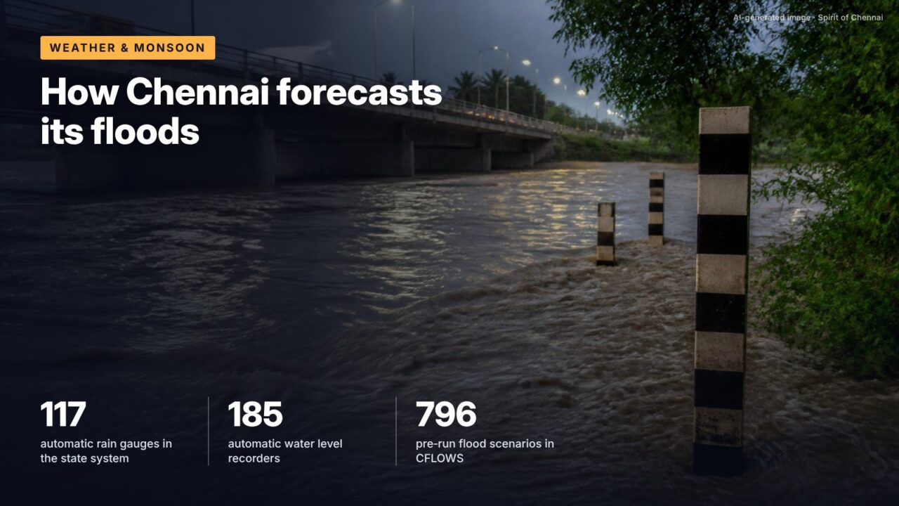
The most detailed flood forecasting tool for Chennai is run by the state, not the Centre. The Real Time Flood Forecasting and Spatial Decision Support System, published as the Chennai Flood Monitor, collects live readings from 117 automatic rain gauges, 185 automatic water level recorders on lakes, tanks, rivers and supply channels, 58 gate sensors and 30 automatic weather stations across a 4,974 sq km basin, and turns them into forecasts of flood extent and depth by street, ward and zone.
It sits alongside an earlier system. The Chennai Flood Warning System, CFLOWS-Chennai, was launched on 3 November 2019 by the then Vice President, built under the Office of the Principal Scientific Adviser with IIT Bombay as lead and run by the Ministry of Earth Sciences for the state, according to the National Centre for Coastal Research. The two use different methods and answer slightly different questions.
The chain every flood forecast follows
All urban flood forecasts follow the same chain. A weather model forecasts rainfall. A hydrologic model converts rainfall on each catchment into runoff, the water that flows off the land into channels. A hydraulic model routes that water down rivers, canals and drains and works out water levels. For a coastal city, a hydrodynamic model adds tide and storm surge at the river mouths, because a high sea can stop rivers draining. The last step maps water levels onto ground height to show which streets go under, and by how much.
Chennai’s difficulty is that three rivers (Kosasthalaiyar, Cooum and Adyar), the Buckingham Canal, Ennore Creek, Pallikaranai Marsh and hundreds of lakes and tanks interact, and that several reservoirs upstream release water on human decisions. A forecast that ignores lake operation can be badly wrong.
How CFLOWS works
CFLOWS uses regional weather forecasts from NCMRWF and IMD, hydrologic models for inflows into the Adyar, Cooum and Kosasthalaiyar, hydraulic models of flooding and hydrodynamic models for tide and surge, the NCCR description says. Rather than run everything from scratch during a storm, it relies on a flood library of about 796 inundation scenarios, pre-computed for combinations of rainfall return period (how rare the rain is), tidal condition and river discharge. When a forecast arrives, the system picks the closest scenario.
Its outputs are delivered through a WebGIS decision support system with six modules, including flood vulnerability, an online data hub, 3D visualisation and crowdsourced flood information. A “Red Atlas” action plan map combines flood maps with street-level field data, relief centres and evacuation sites for use by officials. NCCR says CFLOWS was to be integrated with TN-SMART, the state’s disaster management platform. Academic partners included IISc Bangalore, IIT Madras, IRS and Anna University, with IMD, NCMRWF and INCOIS from the Ministry of Earth Sciences.
How the Chennai Flood Monitor works
The state system runs live models instead of a scenario library. It takes rainfall forecasts from five numerical weather prediction models (NCEP-GFS, UK Met Office, IMD-GFS, NCMRWF and ECMWF) for the next 3 days, 2 days, 1 day, 12 hours and 6 hours, and passes them through a rainfall-runoff model, a one-dimensional channel model, a storm water drain model and a two-dimensional inundation model covering 74 watersheds and 989 km of river, the system’s documentation says. It covers six sub-basins: Kosasthalaiyar, Cooum, Adyar, Kovalam, Nandiyar and Nagariyar, spread over Chennai, Kancheepuram, Thiruvallur, Chengalpattu, Ranipet and Vellore districts.
One component deals directly with the human decisions upstream. A Lake Operation Guidance System lets Water Resources Department officials run scenarios for reservoir releases and see the downstream effect before they open gates. The system was funded by the World Bank through a project development fund managed by TNUIFSL, sponsored by the Commissionerate of Revenue Administration, Greater Chennai Corporation and the Commissionerate of Municipal Administration, built by the SECON-JBA joint venture and supervised by IIT Madras.
| Feature | CFLOWS-Chennai | Chennai Flood Monitor (RTFF and SDSS) |
|---|---|---|
| Run by | Ministry of Earth Sciences, for the state | Government of Tamil Nadu |
| Launched | 3 November 2019 | Not stated on the system page |
| Weather input | NCMRWF and IMD regional models | Five global NWP models |
| Method | Library of about 796 pre-run scenarios | Live hydrologic, hydraulic, drain and 2D models |
| Ground sensors | Field data used for validation | 117 rain gauges, 185 water level recorders, 58 gate sensors, 30 AWS |
| Lake releases | Not described | Lake Operation Guidance System |
| Output | Inundation maps, Red Atlas for officials | Street, ward and zone flood depth; river and lake levels |
Source: National Centre for Coastal Research, CFLOWS-Chennai description; Chennai Flood Monitor, About Us page, Government of Tamil Nadu
Shortest rainfall forecast horizon used by the Chennai Flood Monitor, alongside 12-hour, 1-day, 2-day and 3-day forecasts, per its documentation.
Where the warnings go
The state system sends warnings to officials and the public through web, TV, email and mobile, and runs a hydro modelling control room at the State Emergency Operation Centre at Ezhilagam, a backup at Water Resources Department headquarters, and flood monitoring centres at the Kancheepuram, Tiruvallur, Chengalpattu and Ranipet collectorates. The coastal warning backbone, a state wide area network with towers at 450 sites and a central server at the Disaster Management Cell in Chepauk, was built under an earlier World Bank project, its completion report records.
Above both systems sit IMD’s district-wise heavy rainfall warnings, updated four times a day and valid for up to seven days, and the Central Water Commission’s forecasts at 350 stations, as the Union government told the Lok Sabha in March 2026.
It’s often said India’s new national inundation forecasting platform now covers Chennai.
The record shows The C-FLOOD platform gives two-day village-level inundation forecasts for the Godavari, Tapi and Mahanadi basins in its initial phase, according to PIB. Chennai relies on CFLOWS and the state’s own Flood Monitor.
The money behind the next step
Forecasting reduces surprise, not water. On 7 December 2023, in the week of Cyclone Michaung, the Union government approved the first urban flood mitigation project from the National Disaster Mitigation Fund, worth ₹561.29 crore, for integrated urban flood management in the Chennai basin, according to the Home Ministry’s year-end review. It followed a June 2023 announcement of a ₹2,500 crore programme for seven metros including Chennai.
What this means for you
- During heavy rain, the Chennai Flood Monitor dashboard shows live lake and river levels; use it alongside IMD warnings.
- Street-level inundation forecasts are model outputs; treat them as a guide to risk, not a guarantee for your road.
- Reservoir releases are planned using the state’s lake operation tool; official release announcements remain the trigger for low-lying areas to move.
- Keep TN-SMART and IMD alerts enabled on your phone during the October to December season.
What to watch
Through December 2026
The northeast monsoon season, the main live test for both systems.
Pending
Progress on the ₹561.29 crore integrated urban flood management project for the Chennai basin.
Pending
Any extension of the national C-FLOOD platform beyond its first three basins.
Checked against official sources on 23 October 2026. Figures and rules change; confirm on the linked official pages before relying on them.
Sources
- Chennai Flood Warning System (CFLOWS-Chennai), National Centre for Coastal Research, Ministry of Earth Sciences
- About the Real Time Flood Forecasting and Spatial Decision Support System, Chennai Flood Monitor, Government of Tamil Nadu
- Parliament question: early warning systems for floods and cyclones, PIB, 11 March 2026
- C-FLOOD unified inundation forecasting system, PIB, 21 August 2025
- Ministry of Home Affairs: Year End Review 2023, PIB, 31 December 2023
- Implementation Completion and Results Report, Tamil Nadu and Puducherry Coastal Disaster Risk Reduction Project, World Bank, 2021