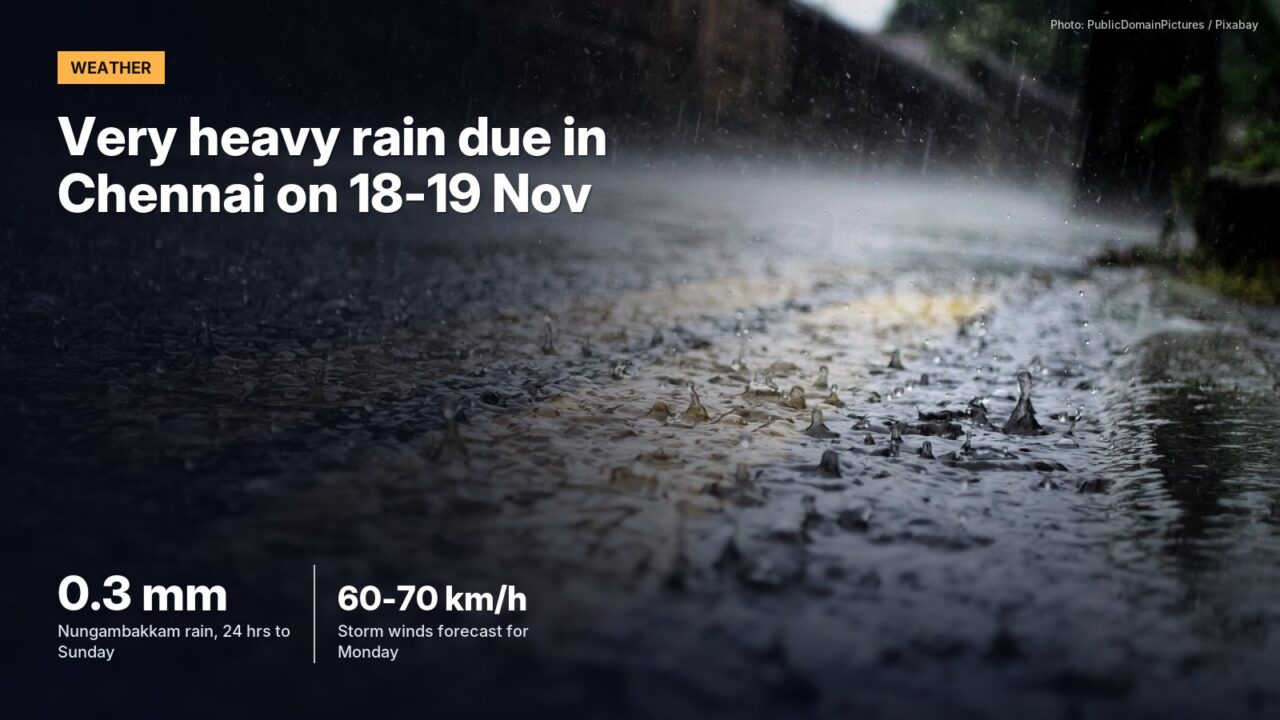
Chennai gets only light to moderate showers on Monday, but the city forecast flags heavy rain from Tuesday and very heavy rain on 18 and 19 November.
Wednesday and Thursday carry the warning. In its seven-day city forecast issued at 2 pm on Sunday, the Regional Meteorological Centre (RMC) Chennai put a very heavy rain warning on 18 and 19 November, with thunderstorms and lightning in some areas.
Tuesday 17 November and Friday 20 November carry a heavy rain warning. By Saturday the forecast eases back to light to moderate rain and no warning at all.
Monday itself looks ordinary. The RMC expects a partly cloudy sky with light to moderate rain in some areas, a maximum of 30-31°C and a minimum of 24-25°C. The city went into the week nearly dry. Nungambakkam logged 0.3 mm in the 24 hours to 8.30 am on Sunday and Meenambakkam only a trace.
| Date | Rain in the city forecast | Warning | Max / min (°C) |
|---|---|---|---|
| Mon 16 Nov | Light to moderate rain in some areas | Nil | 30-31 / 24-25 |
| Tue 17 Nov | Moderate to heavy rain, thunderstorm and lightning | Heavy rain | 30-31 / 24-25 |
| Wed 18 Nov | Heavy to very heavy rain, thunderstorm and lightning | Very heavy rain | 29-30 / 23-24 |
| Thu 19 Nov | Heavy to very heavy rain, thunderstorm and lightning | Very heavy rain | 29-30 / 23-24 |
| Fri 20 Nov | Heavy rain, thunderstorm and lightning | Heavy rain | 29-30 / 23-24 |
| Sat 21 Nov | Light to moderate rain in some areas | Nil | 29-30 / 23-24 |
Source: RMC Chennai city forecast issued at 1400 hrs IST on 15 November 2026.
A storm is forming far out in the Bay
Out at sea, a system is getting organised well to the south-east of the city. The Regional Specialised Meteorological Centre in New Delhi placed a well-marked low pressure area at 7.3°N, 87.8°E at 8.30 am IST on Saturday and expected it to become a depression within a day.
Its outlook has the system reaching cyclonic storm strength over the central south and west-central Bay of Bengal around 5.30 pm IST on Monday, with sustained winds of 60-70 km/h gusting to 80 km/h. A severe cyclonic storm is forecast by early Wednesday, around 5.30 am IST on 18 November. Most weather models take it north-north-west towards the north Andhra Pradesh coast, the outlook said, while the IMD’s own GFS model was the outlier and pointed to Myanmar.
The city forecast does not link its warnings to the storm. Across the state, the regional bulletin issued at 12.15 pm on Sunday lists scattered rain from 16 to 20 November and thunderstorms with gusty winds of 40-50 km/h on 18, 19 and 20 November.
All of this falls in the thick of the வடகிழக்கு பருவமழை (northeast monsoon) season.
How we worked this out
The table copies the RMC Chennai city forecast issued at 1400 hrs IST on 15 November. Storm positions and timings come from the RSMC New Delhi Tropical Weather Outlook issued at 0800 UTC on 14 November; we added five and a half hours to convert UTC to IST. Both are forecasts and change with each new bulletin.
The next outlook from New Delhi will show whether the storm formed on Monday evening as forecast.
Checked against official sources on 16 November 2026.
Sources
- Chennai city forecast, issued 1400 hrs IST, 15 November 2026 (Regional Meteorological Centre Chennai, IMD)
- Tropical Weather Outlook based on 0300 UTC of 14 November 2026 (RSMC New Delhi, IMD)
- Seven-day forecast for Tamil Nadu, Puducherry and Karaikal, issued 1215 hrs IST, 15 November 2026 (RMC Chennai)
- Cyclone information page (India Meteorological Department)