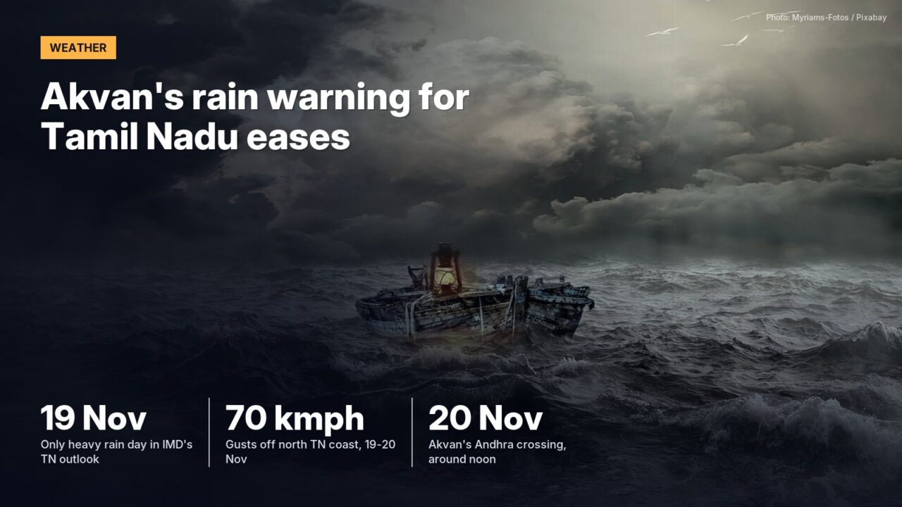
The India Meteorological Department’s Tuesday bulletin forecasts heavy rain for Tamil Nadu on just one day, 19 November, as Cyclone Akvan tracks towards Andhra Pradesh.
One day of heavy rain, at isolated places. That is what is left for Tamil Nadu, Puducherry and Karaikal in the India Meteorological Department’s national bulletin issued at 1.25 pm on Tuesday, 17 November.
Twenty-four hours earlier the same bulletin carried isolated very heavy rain for the State on 18 and 19 November, with heavy rain on either side of those dates. Tuesday’s version drops the very heavy category for Tamil Nadu altogether. It keeps isolated to scattered rain across the State from 17 to 23 November and a single line on heavy rain: “Isolated heavy rainfall likely over Tamil Nadu, Puducherry & Karaikal on 19th November.” The heavy-to-very-heavy warnings, with isolated extremely heavy falls, have moved north to coastal Andhra Pradesh and Yanam for 19 and 20 November.
How the forecast changed in a day
| Date | IMD bulletin of 16 November | IMD bulletin of 17 November |
|---|---|---|
| 18 Nov (Wed) | Isolated very heavy rain | Isolated to scattered rain |
| 19 Nov (Thu) | Isolated very heavy rain | Isolated heavy rain |
| 20 Nov (Fri) | Isolated heavy rain | Isolated to scattered rain |
| Wind, north TN coast | 40-50 kmph gusting to 60 till 18 Nov; 50-60 gusting to 70 on 19 Nov | 40-50 kmph gusting to 60 till 18 Nov; 50-60 gusting to 70 kmph on 19 and 20 Nov |
Source: IMD national press releases on Cyclone Akvan, 16 November (1300 IST) and 17 November (1325 IST), for Tamil Nadu, Puducherry and Karaikal
The storm itself is behaving much as forecast. Akvan became a cyclonic storm at 5.30 pm on Monday over the south and adjoining west-central Bay of Bengal and was still crawling north-northwest at 8.30 am on Tuesday. IMD expected it to strengthen into a severe cyclonic storm by Tuesday evening and a very severe cyclonic storm around Thursday morning, then turn northwest and cross the Andhra Pradesh and Yanam coast between Nellore and Tuni around noon on Friday, 20 November, with sustained winds of 120-130 kmph gusting to 145 kmph.
Chennai is a long way south of that line. Good news, mostly.
The wind and the sea still matter here
Squally winds of 40-50 kmph gusting to 60 kmph are forecast along and off the north Tamil Nadu and Puducherry coast until Wednesday, rising to 50-60 kmph gusting to 70 kmph on Thursday and Friday. The sea there will stay rough to very rough until 20 November. Fishermen have been told not to enter the southwest Bay of Bengal or the west-central Bay until 20 November, and the southeast Bay until 18 November.
The national bulletin describes the State as a whole. Colour-coded alerts for individual districts come from the Regional Meteorological Centre in Chennai, which had placed Chennai, Tiruvallur and Chengalpattu under an orange alert for 18 and 19 November in its earlier outlook, and school holidays for rain are announced by each district Collector.
The Greater Chennai Corporation is not standing down. Its north region office at Royapuram reviewed zones 1 to 5 on Monday and said 69 relief centres with bedding, electricity, toilets and drinking water were ready, with 14 community kitchens, 30 rescue boats and 50 pumps of 100 HP on standby.
How we worked this out
We set the Tamil Nadu lines of IMD’s two national press releases side by side, wording for wording. District colour codes are not part of those releases and are not in the table. Relief figures are those the Corporation’s north region gave on 16 November.
IMD’s next national bulletin on Akvan is due on Wednesday.
Checked against official sources on 18 November 2026.
Sources
- Press release: Cyclonic Storm Akvan over south and adjoining west-central Bay of Bengal, India Meteorological Department, 17 November 2026 (1325 IST)
- Press release: Deep Depression over southeast Bay of Bengal, India Meteorological Department, 16 November 2026 (1300 IST)
- Greater Chennai Corporation, north region review of cyclone preparedness, Royapuram, 16 November 2026