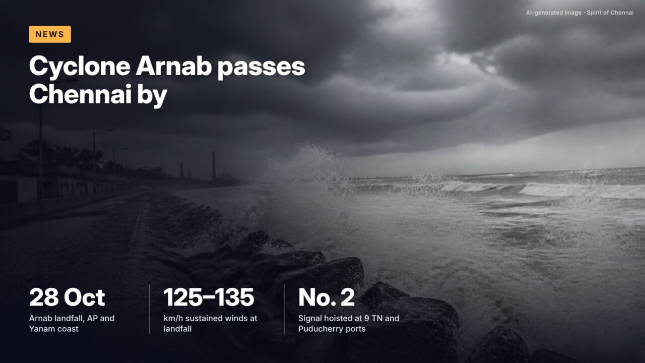
Cyclone Arnab crossed the Andhra Pradesh and Yanam coast early on 28 October 2026, several hundred kilometres north of Chennai. The city got warning signals at its ports, a rough sea and a handful of cancelled flights, but almost no rain from the storm itself.
The numbers
The India Meteorological Department (IMD) says the very severe cyclonic storm crossed the coast between Bapatla and Visakhapatnam, to the southwest of Yanam, between 2 am and 8 am on Wednesday 28 October, with sustained winds of 125 to 135 km/h gusting to 150 km/h. By 8.30 am on 29 October it had weakened to a depression about 40 km north-northwest of Jagdalpur in Chhattisgarh, according to IMD’s press release of 29 October.
For Chennai the storm was a near miss in every sense. The city’s two observatories recorded no rain at all in the 24 hours to 8.30 am on 29 October, and the Regional Meteorological Centre (RMC) Chennai expects mainly dry, hot days until the weekend. October has already been wet, and another low is forming in the Bay of Bengal.
How Arnab formed and moved
NASA’s Earth Observatory, which tracked the storm by satellite, notes that Arnab was the first named storm of the 2026 North Indian Ocean season, a late start for the basin.
At 8.30 am on 26 October, IMD placed the cyclone near latitude 15.4°N and longitude 88.5°E, about 610 km east-southeast of Visakhapatnam, moving west at 15 km/h. Its 26 October release correctly forecast a very severe cyclonic storm crossing the coast close to Yanam by the forenoon of 28 October.
| Time (IST) | Stage | Where |
|---|---|---|
| 26 Oct, 8.30 am | Cyclonic storm | West-central and east-central Bay of Bengal, 610 km ESE of Visakhapatnam |
| 28 Oct, 2 am to 8 am | Very severe cyclonic storm, landfall | AP and Yanam coast, southwest of Yanam |
| 28 Oct, 5.30 pm | Cyclonic storm | Coastal Andhra Pradesh and Yanam |
| 28 Oct, 11.30 pm | Deep depression | North coastal AP, south Odisha, south Chhattisgarh |
| 29 Oct, 8.30 am | Depression | 40 km NNW of Jagdalpur |
Source: IMD press releases of 26, 28 and 29 October 2026
What it meant for the Chennai coast
IMD’s warnings for north Tamil Nadu were about wind and sea rather than rain. The 26 October release forecast squally weather, with winds of 40 to 50 km/h gusting to 60 km/h, along and off the north Tamil Nadu coast from the evening of 27 October to the evening of 28 October, and rough to very rough seas over the same stretch. Fishermen were told not to venture into the southwest Bay of Bengal or along the north Tamil Nadu and Puducherry coasts on 27 and 28 October.
On the morning of 26 October, cyclone warning signal No. 2 was hoisted at nine ports, as reported by DT Next on 26 October: Chennai, Ennore, Kattupalli, Cuddalore, Nagapattinam, Pamban, Thoothukudi, Puducherry and Karaikal. Under IMD’s port warning system, signal II is a distant warning: a storm has formed at sea, away from the coast, and ships about to sail should take note.
A distant warning signal says a storm exists at sea; it is not a local danger signal for the city, according to IMD’s port warning guide.
Flights and travel
Disruption at Chennai airport was limited. DT Next reported on 27 October that four IndiGo flights between Chennai and Visakhapatnam and Vijayawada were cancelled that evening, with further changes depending on the storm’s movement.
How much rain Chennai has had
Arnab brought Chennai no meaningful rain, but the northeast monsoon, which set in over Tamil Nadu on 15 October, had already done plenty. RMC Chennai’s daily weather report of 29 October puts rainfall since 1 October at 387.2 mm at Nungambakkam, 131.0 mm above normal, and 383.4 mm at Meenambakkam, 116.6 mm above normal. That puts the Nungambakkam normal for the period at about 256 mm (387.2 minus 131.0), so the city is running about half as wet again as usual.
| Station | Rain, 1–29 Oct 2026 | Above normal by | Last 24 hours |
|---|---|---|---|
| Nungambakkam (city) | 387.2 mm | 131.0 mm | 0.0 mm |
| Meenambakkam (airport) | 383.4 mm | 116.6 mm | 0.0 mm |
Source: RMC Chennai, Daily Weather Report, 29 October 2026 (observations to 8.30 am)
It’s often said any Bay of Bengal cyclone means heavy rain for Chennai.
The record shows a storm that tracks north to Andhra Pradesh can pull moisture away from Tamil Nadu. IMD’s 28 October release forecast only isolated to scattered rain over Tamil Nadu while Arnab made landfall, and both Chennai stations logged zero rain in the following day.
The rest of the monsoon outlook
RMC Chennai forecasts partly cloudy skies and mainly dry weather in the city on 29 and 30 October, with maximum temperatures of 35 to 36°C. Rain returns to the state from 1 November, with thunderstorms over northern and central districts, heavy rain in Coimbatore and the Nilgiris on 2 November and moderate rain over north Tamil Nadu on 3 and 4 November.
The next system is already visible. A low-pressure area formed over the south Andaman Sea on the morning of 29 October. RMC says it is very likely to become a well-marked low within 24 hours and could concentrate into a depression over the southeast Bay of Bengal in the 24 hours after that. IMD has not forecast its track, so it is too early to say whether Chennai will be affected.
What this means for you
- Arnab is over for Chennai. Expect hot, mostly dry days until about 31 October, then a return of thunderstorms.
- Port signal No. 2 is a warning to ships about a distant storm. It is not an evacuation or danger signal for the city.
- October rain is well above normal at both city stations, so low-lying streets and storm drains will fill faster if the next system brings heavy rain.
- If you are flying to Visakhapatnam, Vijayawada or Odisha in the next few days, check the airline’s status page before leaving for the airport.
- Follow RMC Chennai’s daily report and IMD bulletins rather than forwarded messages for the new Andaman Sea system.
What to watch
30 and 31 October
IMD bulletins on whether the south Andaman Sea low becomes a well-marked low and then a depression, and which way it heads.
1 to 4 November
RMC Chennai expects thunderstorms from 1 November and moderate rain over north Tamil Nadu on 3 and 4 November.
Pending
IMD’s updated outlook for November rainfall, which normally follows at the turn of the month.
Checked against official sources on 29 October 2026. This is a developing story; confirm the latest on the linked official pages.
Sources
- Press release on Cyclonic Storm Arnab, 26 October 2026 (India Meteorological Department)
- Press release on Very Severe Cyclonic Storm Arnab landfall, 28 October 2026 (India Meteorological Department)
- Press release on Arnab weakening and new low, 29 October 2026 (India Meteorological Department)
- Daily Weather Report, 29 October 2026 (Regional Meteorological Centre, Chennai)
- Port warning signals (IMD RSMC New Delhi)
- Arnab Strikes India (NASA Earth Observatory)
- Cyclone Arnab: Cyclone warning signal no 2 at 9 ports in TN, Puducherry (DT Next, 26 October 2026)
- Cyclone Arnab: Four flights cancelled at Chennai airport (DT Next, 27 October 2026)